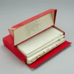
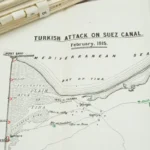
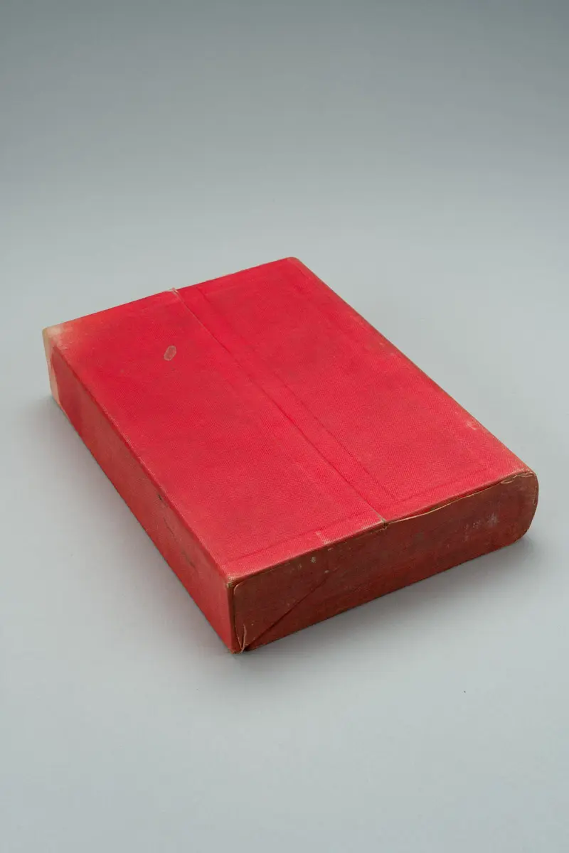
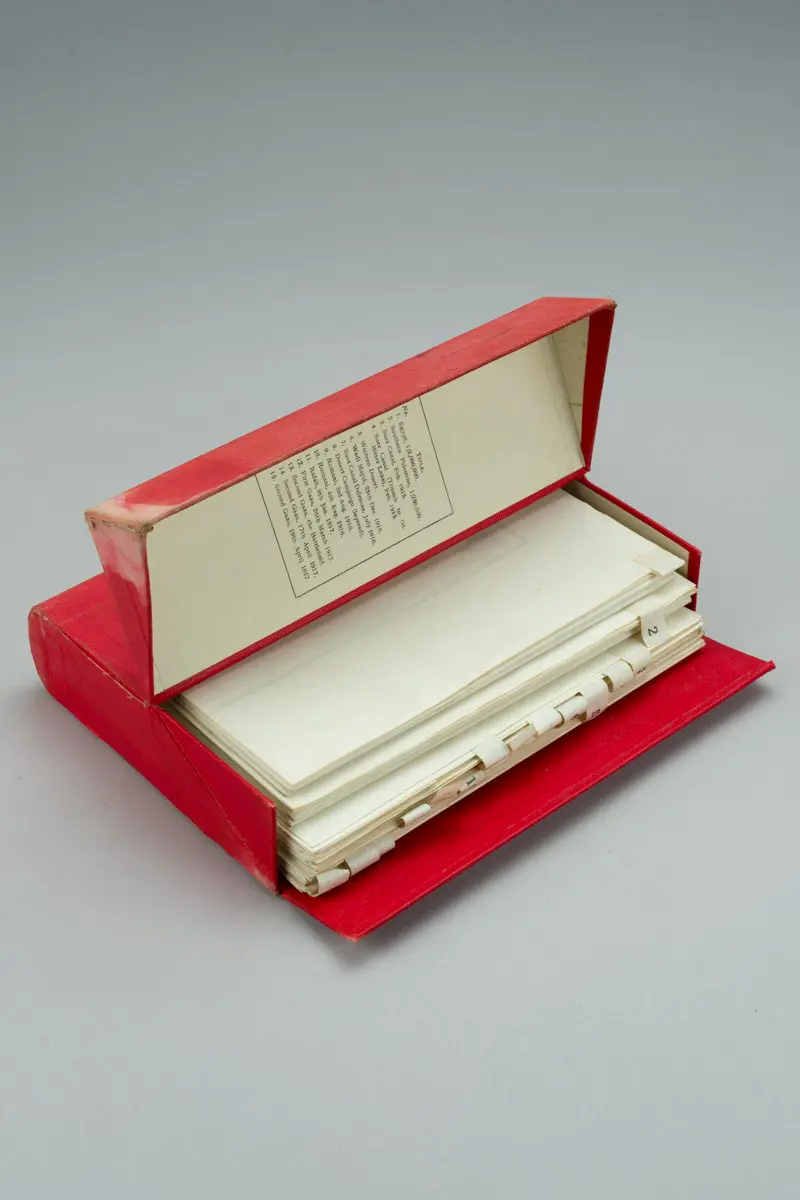
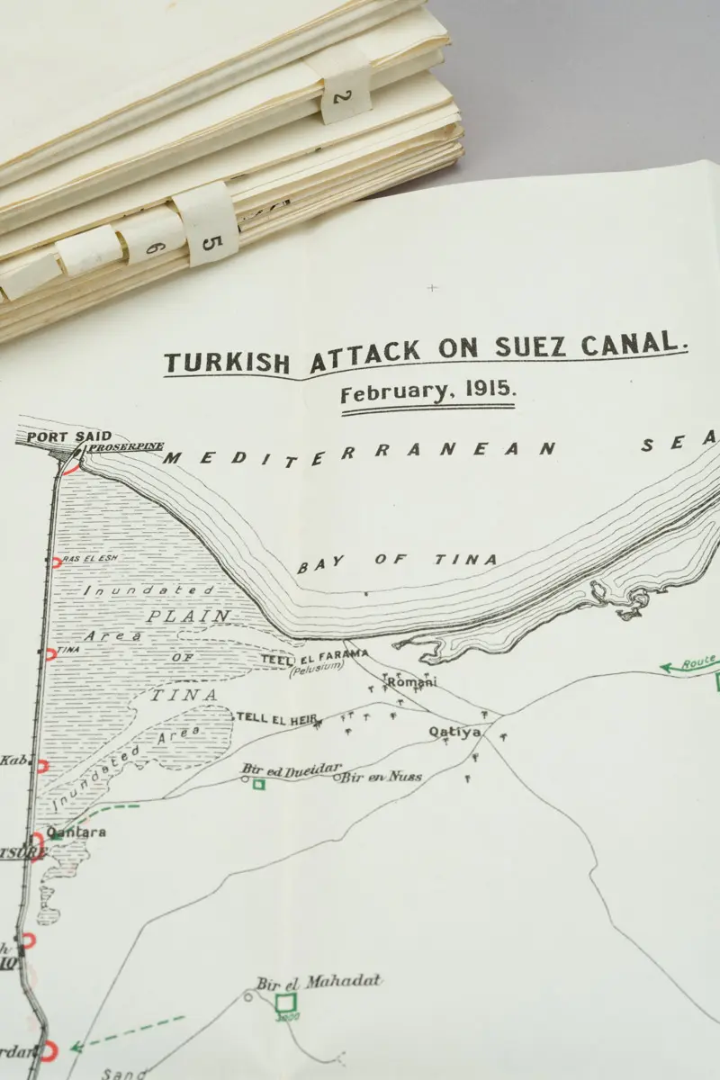
A specialised cartographic companion to the British official history of the war in the Eastern Mediterranean. Issued separately, this volume contains the operational maps used to illustrate manoeuvres, supply lines, defensive positions, and advances across Sinai, the Suez Canal zone, and Palestine.
Where the narrative volumes explain decisions, these sheets show the ground truth commanders faced. For collectors, map cases like this are often scarcer than the books they were meant to accompany because they were heavily consulted, separated, or lost.
Complete, usable examples are increasingly uncommon.
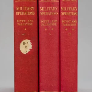
Official map volumes were printed for military and institutional use, not private libraries. Survival rates are therefore much lower than narrative histories.
They provide essential visual evidence for historians of imperial warfare, the Ottoman fronts, and the geopolitics that shaped the modern Middle East.
A strong addition to any serious Great War collection.